"I Am Jeremiah Dixon
I Am A Geordie Boy
A Glass Of Wine With You, Sir
And The Ladies I'll Enjoy
All Durham And Northumberland Is Measured Up By My Own Hand
It Was My Fate From Birth
To Make My Mark Upon The Earth..."
So begins Mark Knopfler's song "Sailing to Philadelphia", his version of the story of Jeremiah Dixon and Charles Mason, two Englishmen who traveled to the US to help settle a border dispute involving Maryland, Pennsylvania, and Delaware in Colonial America.
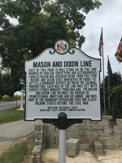
The line that Mason and Dixon surveyed between 1763 and 1767 is still a demarcation line among four U.S. states, forming part of the borders of Pennsylvania, Maryland, Delaware, and West Virginia (at the time, part of Virginia) and is now better known as the Mason-Dixon line (or, as shown in the sign above, The Mason and Dixon line). This shows the entire line:
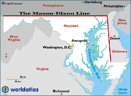
This image is from WorldAtlas, which has a good short history of the project.
The sign in this photo is at mile 46, on the Maryland-Pennsylvania border on Route 45 near 18166 Susquehanna Trail, New Freedom, PA. The mile markers were made from stone carved in Portland, England and transported to the US. Marker 46 is in a farmer's field, and looks like this:
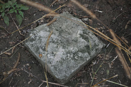
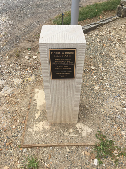
This photo is from the Hanover Area Historical Society. Their site has photos of all the area markers. in 2015 the Preservation Alliance of Baltimore County unveiled a replacement Mile Stone, which looks like this:
Despite what Mark Knopfler says, Jeremiah Dixon was not really a Geordie. A Geordie comes from the banks of the River Tyne, and that's 36 miles away. Sunderland (a much better town than Newcastle) is only 31 miles away. Either way, I think Jeremiah Dixon would be proud of the food in the area he surveyed. This is a Primanti Brothers sandwich from York, PA:
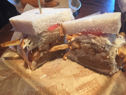
The ingredients are grilled meat, an Italian dressing-based coleslaw, tomato slices, and French fries. Enough to keep a surveyor going for several years!

